HOME
»
Jacurutu
»
Outdoor Ac...
»
Val d'Iser...
»
Viewing
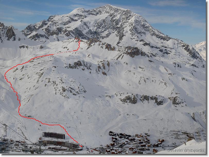
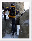
aiguille_percee_route_map
[Image 132 of 183]
::
Jump To
+ Stiomrabha...
+ Loch Sealg...
+ Snowboardi...
+ Miavig to ...
+ Geocaching
+ Almscliff ...
+ Orange Sai...
- Val d'Iser...
- Page 1
- Page 2
- Page 3
- Page 4
- Page 5
- Page 6
- Page 7
- Page 8
- Page 9
- Page 10
- Page 11
- Page 12
- Page 13
+ Chamonix 2...
+ Chamonix L...
+ Caley Crag...
+ Tignes 200...
+ Mountainbo...
Comment:
The red line shows the descent from the top of the Aiguille Percee lift down into Tignes. (This shot is actually a sequence of photos stitched together in Autostitch.)
aiguille_percee_route_map.jpg - 4355 x 3266 - (2.75MB)
26/02/07 15:28
Album last updated on 25/05/10 12:08
Powered by
Jalbum 8.1
and
BluPlusPlus
skin
© 2004-2010 Kevin Whitworth